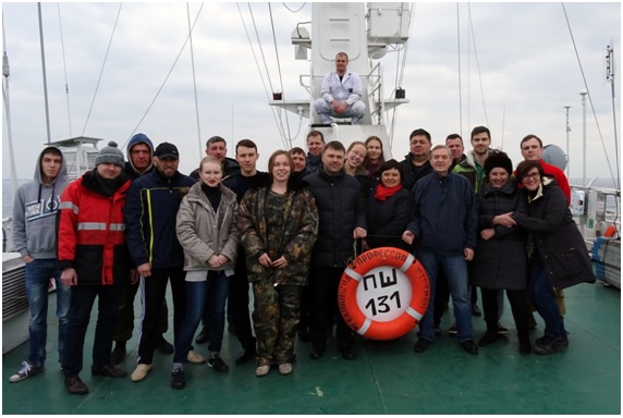
On 6 April 2016 the 131st research voyage of RV Professor Shtokman in south east Baltic Sea (Russian sector). The academic board of the expedition included 21 members from IO RAS Atlantic Section, IO RAS, Russian Geological Research Institute, and I.Kant Baltic Federal University. Three master’s students of I.Kant Baltic Federal University acquired a valuable practical experience. In the course of the expedition 22 integrated oceanological stations were completed and 600 marine miles covered (fig. 1)
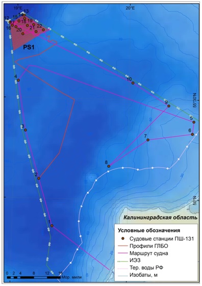
On the oceanological stations CTD soundings were performed, zoo- and ichthyoplankton caught, water and soil samples for various analyses to determine the ecological state of the marine environment collected. On two stations sediment traps were dismounted/installed, and on one of them test specimens of a self-contained multichannel thermograph and self-contained multipositional sediment trap manufactured in IO RAS Atlantic Section were installed.
On PS1 range (see fig. 1) in order to identify and map the underwater landscapes, 582 running meters of multisensor geophysical profiles using an interferometric side-scanning sonar Benthos C3D, a hydrographic assembly Simrad EA400SP and an authorized vessel profilograph Bathy-2010 CHIRP Profiler were performed. The assembly of geophysical equipment applied on parallel tacks spaced 500 m allowed a solid side-scan sonar mosaics, a multiple-beam bathymetric survey of the area, a high-precision single-beam sounding survey, and acoustic profiles of bottom sediments of various resolutions and penetration depths to be obtained. To interpret sonar data on the side-scan sonar mosaics operatively obtained in the voyage, 10 bottom sediment samples were targeted and collected by a sediment sampler.
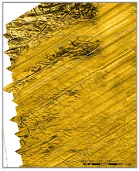
On PS1 range discontinuous deep furrows were detected (fig. 2) noted for the first time in the 64th voyage of RV Akademik Mstislav Keldysh on adjoined area to the south. The furrows were formed about 14 thousand years ago as a result of bottom plowing by huge icebergs detached from a receding glacier and furrowing the waters of Baltic Glacial Lake. Such forms of relief in South East Baltic were not described earlier and require further detailed research.
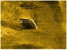
Also in the southern part of PS1 range near the Polish border a sunken vessel was found (fig. 3). The vessel is about 70m long, the superstructure about 15m high. To identify the vessel, additional survey is required using a self-contained remotely operated vehicle.
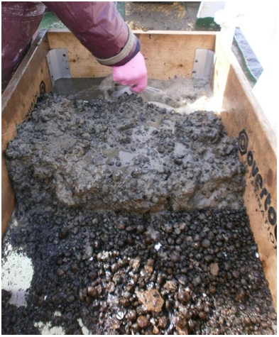
In the bottom sediments of PS1 range a great amount of ferromanganese concretions (fig. 4) were noted at certain stations the origins of which is still disputed. Such amount of concretions in the sediments can be of interest in terms of extraction of mineral resources.
The report on the voyage can be seen here.

